OUR SERVICES
Marine surveys.
Clearer understanding.
Hydrographic, oceanographic and geophysical services, focused on the marine environment.
IN THE FIELD
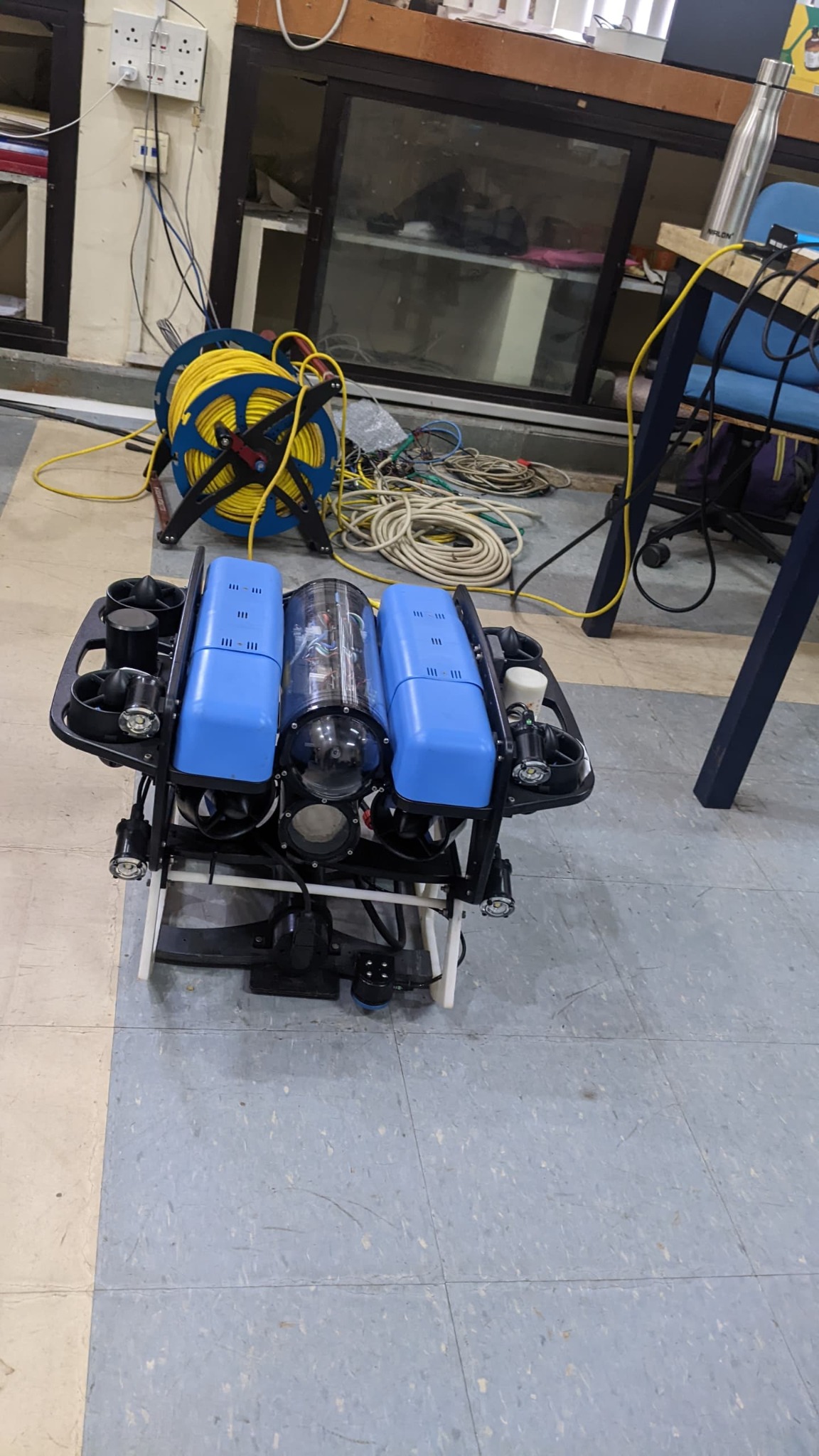
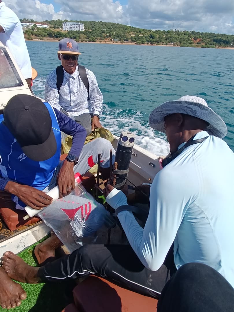
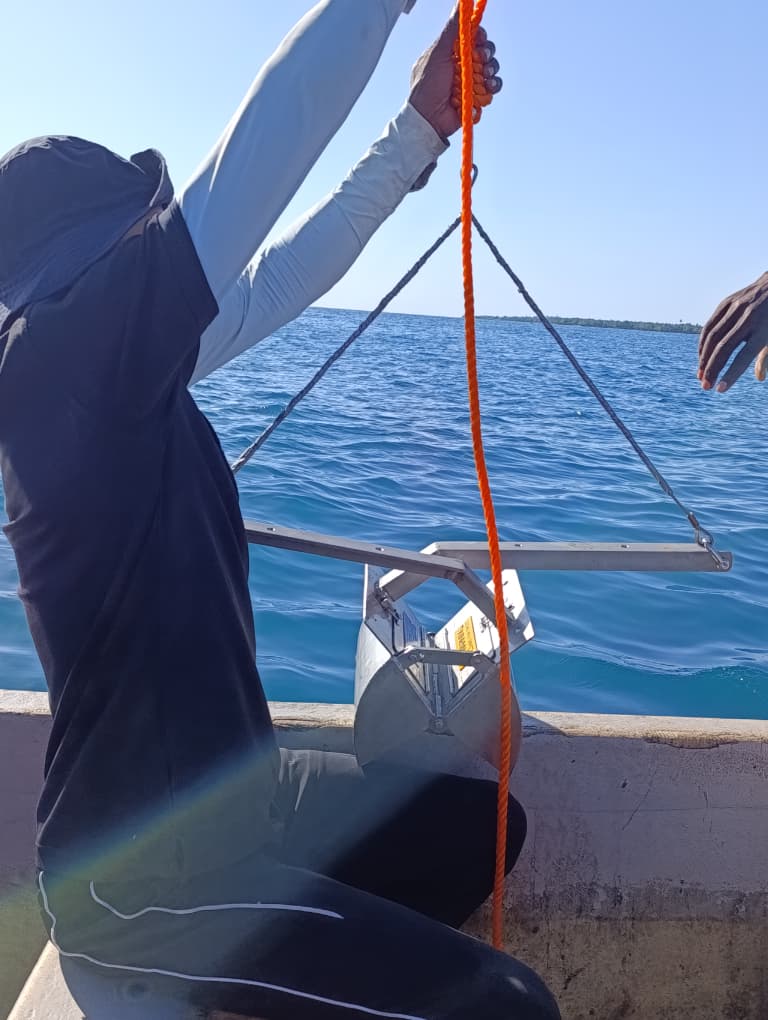
Tools for understanding the marine environment.
A closer look at marine fieldwork, instruments and underwater technology. Select a photograph to view the full image.
01 / MARINE SURVEY
Multibeam bathymetry
Map the shape of the seabed.
Bathymetric surveys to describe seabed depths and terrain for marine planning, route assessment and coastal infrastructure.
Potential outputs: Depth surfaces · Contours · Seabed profiles
Final scope and outputs are agreed for your project.
02 / MARINE SURVEY
Oceanographic surveys
Understand the water above it.
Measurements of currents, waves and tides to support an understanding of marine conditions and coastal processes.
Potential outputs: Current measurements · Wave observations · Tidal records
Final scope and outputs are agreed for your project.
03 / MARINE SURVEY
ROV surveys & inspection
See underwater assets up close.
Remotely operated vehicle surveys for visual inspection of underwater structures and seabed features.
Potential outputs: Underwater video · Visual records · Inspection observations
Final scope and outputs are agreed for your project.
04 / MARINE SURVEY
Seabed imaging
Bring the seafloor into view.
Underwater imaging to document seabed conditions, habitats and features of interest within a defined survey area.
Potential outputs: Seabed imagery · Feature documentation · Site observations
Final scope and outputs are agreed for your project.
05 / MARINE SURVEY
Side-scan sonar surveys
Reveal patterns across the seabed.
Acoustic imaging to examine seabed texture, identify features and investigate targets for further inspection.
Potential outputs: Sonar imagery · Target locations · Seabed interpretation
Final scope and outputs are agreed for your project.
06 / MARINE SURVEY
Marine gravity surveys
Investigate structure below the seabed.
Marine gravity measurements and analysis to examine variations associated with subsurface geological structure.
Potential outputs: Gravity anomalies · Maps · Geological interpretation
Final scope and outputs are agreed for your project.
07 / MARINE SURVEY
Marine magnetic surveys
Explore the magnetic signature.
Marine magnetic measurements to investigate magnetic anomalies and support geological or target-focused investigations.
Potential outputs: Magnetic anomalies · Profiles · Target assessment
Final scope and outputs are agreed for your project.
Let’s define the right survey.
Share your location, objectives and intended use of the data.