ABOUT BECKER MARINE SURVEYS
Understanding the Ocean.
Informing your next step.
Marine hydrography, oceanography and geophysics brought together around the needs of your project.
IN THE FIELD
A marine perspective, in the field and beyond.
A closer look at marine fieldwork, instruments and underwater technology. Select a photograph to view the full image.
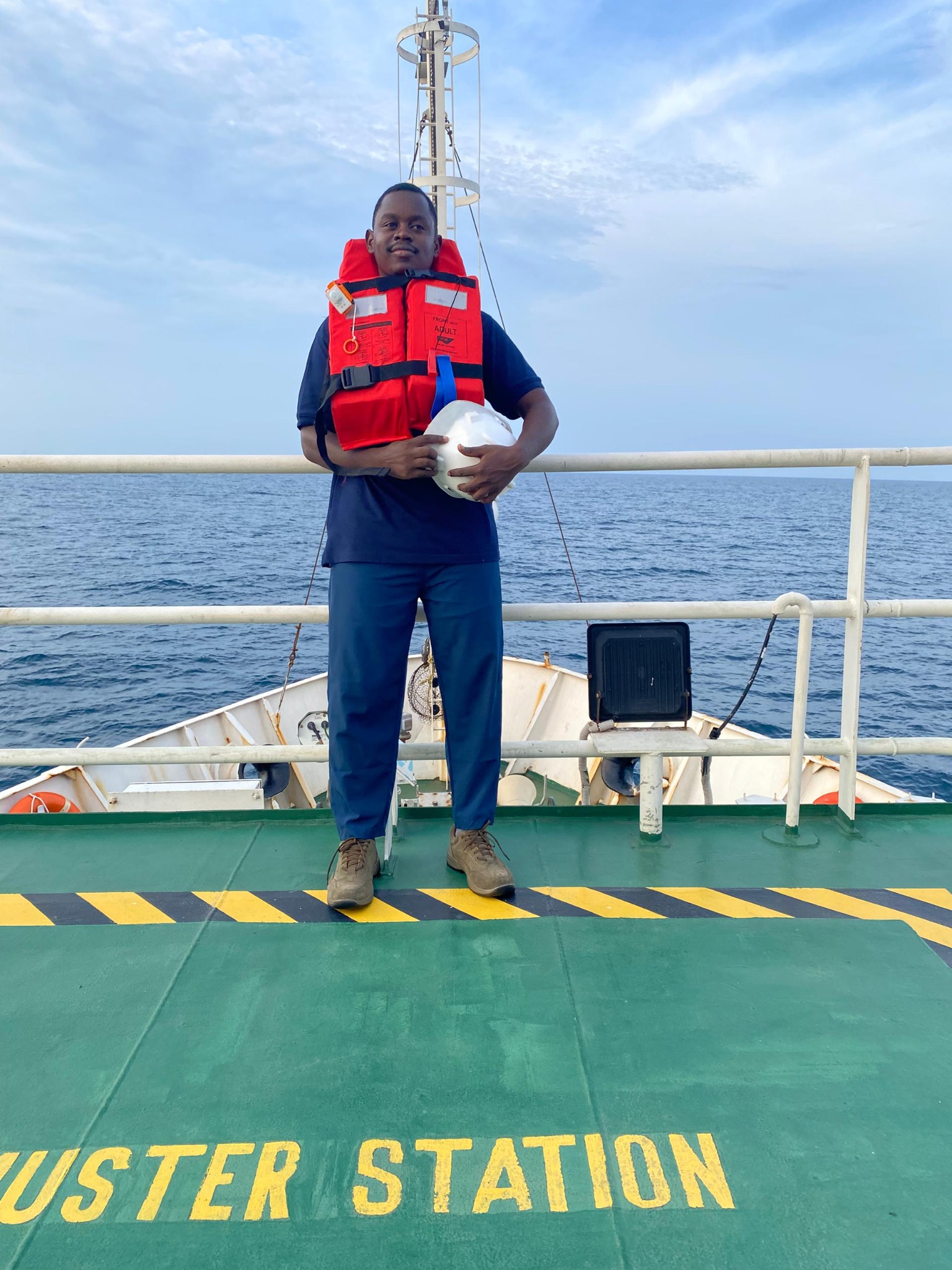
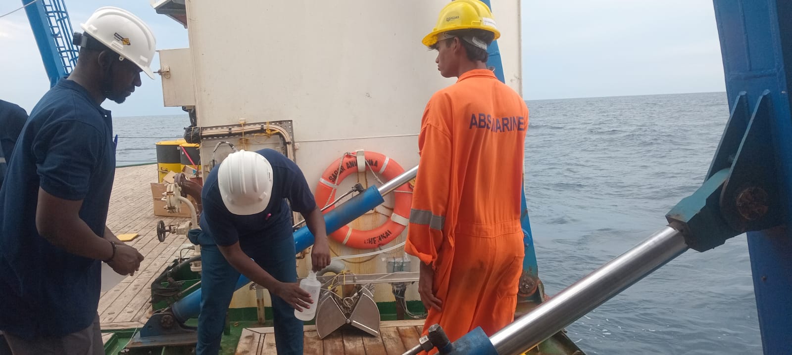
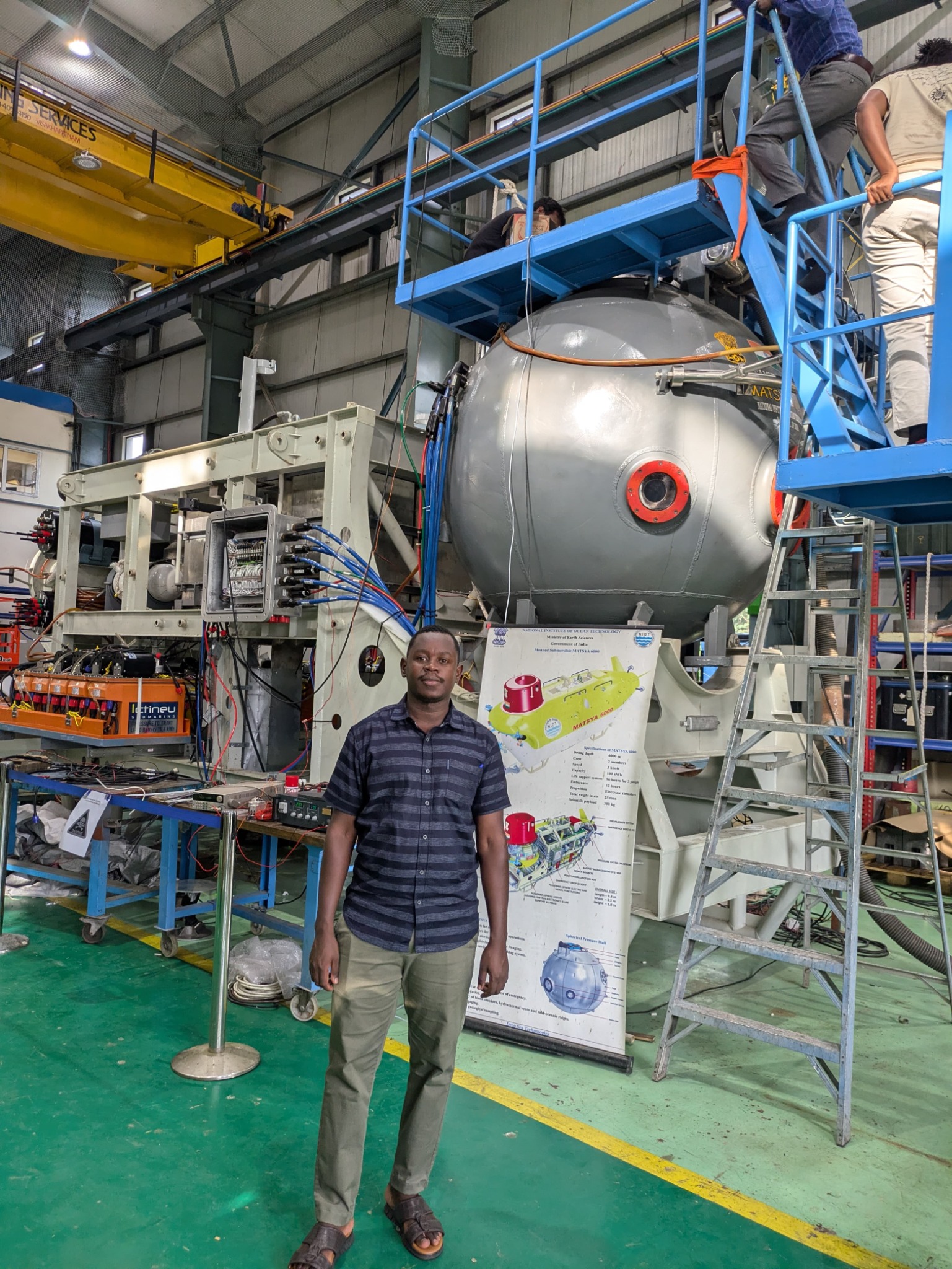
Our focus is marine.
Becker Marine Surveys provides marine hydrographic, oceanographic and geophysical survey services. Our work spans multibeam, singlebeam bathymetry, current, wave and tidal measurements, ROV inspection, seabed imaging, side-scan sonar, marine gravity and magnetic surveys.
A survey starts with the right question.
A seabed map, an underwater inspection and a current record answer different questions. We begin by understanding what your project needs to establish, then discuss the appropriate methods, survey coverage and outputs.
Information you can put to work.
The aim is to provide useful marine information with a clear account of how it was acquired and the limitations relevant to its use. Scope, timing and deliverables are agreed before work begins.